Real Estate Photography, Drone & Virtual Tours
Bright, accurate property photos, aerial views that show the whole lot and neighborhood, and walkthroughs buyers can explore online.
- From $199 / project
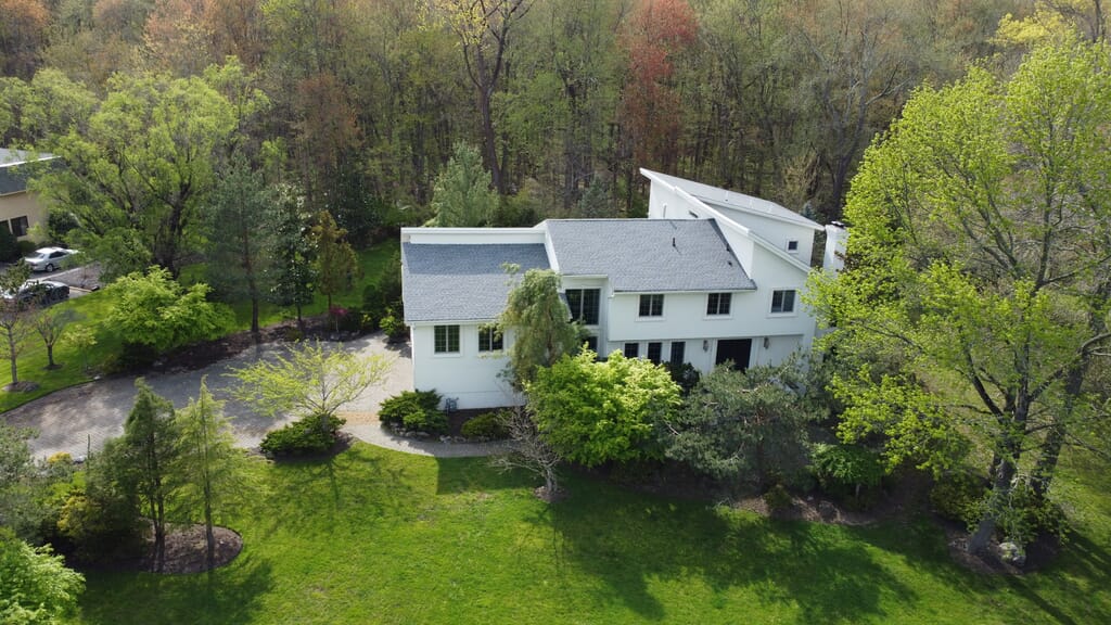
Our work
Gallery
360° & video
Video
Process
How it works
Step 01
Tell us about it
Share the date, location and what you want captured. We confirm availability and a quote.
Step 02
Plan together
We agree on the schedule, shot list and any special requests before the day.
Step 03
We shoot on location
Our team arrives with the equipment and captures everything on the agreed plan.
Step 04
Edited delivery
Edited images and videos are delivered in a private online gallery.
Services
What we offer
Property Photography
Interior and exterior photos with balanced light and true colors, ready for MLS and listing sites.
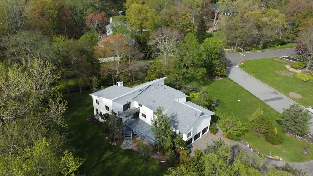
Drone & Aerial Photography
Aerial photos and video that show the property, lot lines and surroundings from above.
3D Virtual Tours
Interactive tours that let buyers walk through the property online before a showing.
Video Walkthroughs
Smooth walkthrough videos for listings, social media and ads.
FAQ
Frequently asked questions
Are the photos ready for MLS?
Yes. Photos are edited for balanced light and accurate color and delivered in sizes that work for MLS and listing sites.
Do you fly drones for every property?
Where flying is permitted and the weather allows. We plan each flight in advance and confirm with you before the visit.
Which areas do you cover?
Tell us the property address when you request a quote and we will confirm availability.
Listing a property soon?
Send us the address and what you need — we’ll confirm availability and a quote.
Explore